The production of all our trail maps is a great collaborative effort involving many volunteers, parks partners, and Trail Conference staff
Project Managers - Daniel Chazin, John Mack, George Dagis, Kay Cynamon, John Moran
Volunteer project managers are a crucial part of each map's production. With a great eye for detail, strong organizational skills, and a great ability to communicate with park partners, the project manager for a map works closely with the cartographer to make sure nothing is overlooked! The volunteers listed here have all been involved with our maps for many years, and they deserve many thanks for their contributions.
- Daniel Chazin has been an active volunteer since 1982, and most recently has served as project manager for the Kittatinny Trails map set.
- John Mack volunteers on-trail as Trail Chair for the West Hudson South region, and off-trail as project manager for both the Harriman-Bear Mountain Trails map set and the Sterling Forest Trails map.
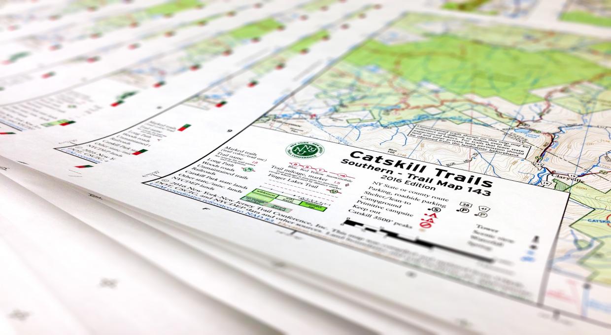
- George Dagis has served as project manager for the Catskill Trails map set since 2007, logging many hours GPSing trails and field-checking the maps.
- Kay Cynamon served as project manager for the South Taconic Trails map produced in 2015, an area she is very familiar with due to her years of trail maintenance along many miles of trails in the Taconics.
- John Moran is a long-time volunteer who most recently served as project manager for the North Jersey Trails map set.
Cartographer - Jeremy Apgar
Jeremy has been the cartographer and GIS specialist for the Trail Conference since 2007. He produces a variety of maps for the organization, including published hiking maps in print and digital formats as well as maps to aid trail-building efforts and open-space acquisition.
Graphic Designer - Lou Leonardis
An active Trail Conference member since 1997, Lou and his Summit, NJ-based graphic design studio Trillion Creative help to streamline the production of the Trail Conference's maps. He also ensures that all our published maps maintain a consistent look and feel.
Volunteer GPSers, Field-Checkers and Reviewers
The creation of most any map relies on help from many additional volunteers. Much of the trail data comes from volunteers out in the field recording data with handheld GPS units, and volunteer field-checkers and reviewers often compare maps with conditions on-the-ground to make sure trails are shown correctly. Without the assistance of these volunteers, we would not be able to produce our high-quality maps.
Publications Chair - John Jurasek
A Trail Conference member since 1992, John has been an active volunteer supporting our Publications Committee for many years, in roles including map project manager, GPSer, and field-checker. He has served as chair of the committee since 2014.
The Publications Committee
Our Publications Committee is responsible for producing and marketing all Trail Conference map sets, as well as other publications like our guidebooks. Volunteer members of the committee provide essential input for the maps. We welcome volunteers who are interested in contributing to our efforts, thereby ensuring that the public is provided with the most accurate, up-to-date and useful information about the trails in the NY-NJ region! If you are interested in volunteering with the Publications Committee, please visit our Volunteer page. There are so many ways to contribute, so you, too, can be a mapmaker!
A big thanks to everyone involved!