Lenape Trail Intro
The 36-mile Lenape Trail is a unique urban/suburban trail connecting 18 parks and 11 municipalities in Essex County, N.J. The trail follows an inverted horseshoe path from east to west, running from the famous Branch Brook Park in Newark to South Mountain Reservation in Millburn.
Component3
Lenape Trail Guide and Maps

Lenape Trail Guide and Maps
Our Lenape Trail Guide is your key to exploring the Lenape Trail. It includes detailed maps and descriptions of points of interest along the trail.
Component4HTML
Parks
Lenape Trail Parks
- Branch Brook Park
- Belleville Park
- Booth Park
- Yanticaw Park
- Clark's Pond Preserve
- Brookdale Park
- Yantacaw Brook Park
- Tuers Park
- Presby Memorial Iris Gardens
- Mills Reservation
- Cedar Grove Reservoir
- Cedar Grove Community Park
- Cedar Grove Park
- Hilltop Reservation
- Verona Park
- Eagle Rock Reservation
- Degnan Park
- O'Connor Park
- South Mountain Reservation

Lenape Volunteer
Lenape Volunteers
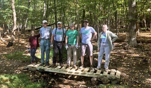
Volunteer for the Lenape Trail
Help keep the Lenape Trail Beautiful! Our 2,000-plus volunteers build, maintain, and protect trails and care for natural areas all across the region. Your favorite parks and trails need you!